Introduction: Role of Drone Technology in Landscape Architecture
The increased availability of consumer-friendly UAVs, or drones, has allowed landscape architecture firms to utilize advanced technologies and digital processing. These tools enhance the ability to generate detailed site maps, greatly improving project planning and execution.
Benefits of Drones in Landscape Architecture
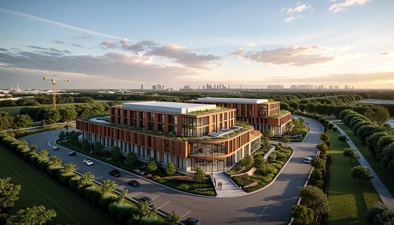
- High Quality Aerial Imagery and 3D Modeling: Drones provide stunning aerial views and valuable 3D models that aid architects and designers in their planning processes.
- Better Understanding of Environment: By capturing the site from an aerial perspective, drones offer a comprehensive understanding of the project’s context.
- Efficient Site Planning and Mapping: Drone technology simplifies site analysis and mapping, leading to more streamlined planning.
Understanding Drone Technology for Architectural Usage
- Surveying and Photogrammetry Processing: Drones help in surveying sites and photogrammetry, enabling precise data collection that goes beyond visual aesthetics.
- Staff Training for Effective Drone Data Utilization: Investing in training ensures the team can efficiently use drones and process the collected data to its fullest potential.
Legal Requirements and Insurance for Commercial Drone Operations
- Getting Clearance from the LAANC System: This is necessary before any drone flight to ensure safe and legal operation over project sites.
- Carrying Insurance Certificates and Licenses: Operators must hold proper insurance, a remote pilot license, and other required documentation.
Best Practices for Using Drones in Architecture
- Basics of Drone Photography: Understanding drone photography basics can enhance project visualization and serve as a powerful tool during client presentations.
- Procedures During Manual and Automated Flying: Observing best practices ensures safety and effectiveness during drone flight operations.
- Use of Correct Software for Flight and Video Recording: Using the right software is crucial for capturing and processing high-quality site data.

Drone Technology Applications in Real Estate
- Improved Efficiencies and Collaboration in Design Team: By providing detailed site data, drones enhance collaboration and streamline design processes.
- Advantages in Visualizing New Views for Home Extensions: Drones help visualize how a property might change with home extensions, offering new perspectives to clients.
Drone Technology as a Replacement for Traditional Surveying
- Generating as-builts with Drone Technology: Drones can create accurate as-built records, which are crucial for site planning.
- Benefits Even with Special Permitting: Even in projects that require permits, drones offer valuable insights and efficiency.
Drone Mapping Applications in Construction
- Spotting Discrepancies and Detecting Potential Hazards: High-resolution drone maps help identify potential issues early in the project cycle.
- Sharing Overlaid Drawings for Easy Collaboration: Drone maps overlaid with construction plans facilitate communication and collaboration among stakeholders.
FAQ Section
- How are drones utilized in landscape architecture? Drones are used in landscape architecture for site mapping, providing valuable aerial imagery and 3D modeling of the site. They are also used to create detailed site measurements, topography, positioning, and other key details.
- What is the significance of staff training and certification in using drone technology? Staff training and certification are important for understanding drone technology, surveying, and photogrammetry processing. It helps in generating precise data, going beyond aesthetics, and effectively using the collected data.
- What is the role of insurance and legal rules in commercial drone operations? Insurance and adherence to legal rules like getting clearance from the Low Altitude Authorization and Notification Capability (LAANC) system ensure safe and legal operations. Drone operators must carry their insurance certificates, licenses, and registration.
- How does drone photography contribute to project visualization in architecture? Drone photography provides a comprehensive aerial view of a site. The images can be easily edited in commonly available software, aiding in project visualization and client meetings.
- What is the value of drone mapping in construction projects? Drone mapping provides high-resolution aerial maps that can detect project discrepancies early on, reducing unnecessary costs and rework. Overlaying these maps with construction plans provide accurate information for improved workflows and ensures proper communication between clients and stakeholders.


