Understanding the Role of Drone Imagery in Architectural Rendering
As an architect or real estate professional, you may have come across the concept of using drone imagery for architectural rendering. Considered a modern solution to the industry’s need for detailed and accurate representations, drones play a key role in the field of architecture and design.
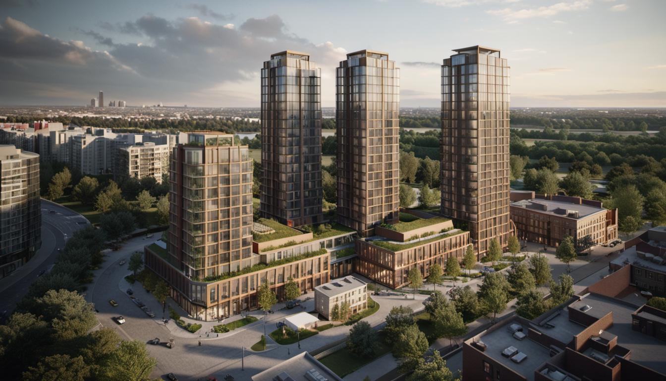
Focusing specifically on the value of 3D Architectural Aerial Rendering, this process turns an architectural design into a 3D presentation, providing a bird’s eye view of structures within their environment. Drone imagery proves essential by offering clear, high-quality imagery that forms the foundation of this 3D visualization.
Transforming 2D Data into 3D: Utilizing Drone Imagery
Drones are capable of capturing two types of images: nadir (straight down) and oblique (at an angle), both conveying different, vital data for GIS mapping. Nadir images allow for 2D orthoimage creation, a necessary step in crafting larger orthomosaics that shape imagery basemaps. On the other hand, oblique imagery becomes 3D point clouds, which eventualy transform into a realistic 3D diagram of the area after being converted into a 3D mesh.
‘Structure from Motion’ technique optimizes this process. It uses drone-captured images’ partial overlap to derive useful 3D data. For this, one understands the basic steps: project creation in ArcGIS Drone2Map, adding drone images to a map, showing flight paths, specifying processing parameters, reviewing parameter tabs, and choosing file type outputs. These processed images result in an accurate, fairly close representation of the desired structure.
Drone Imagery Applications in Architectural Rendering
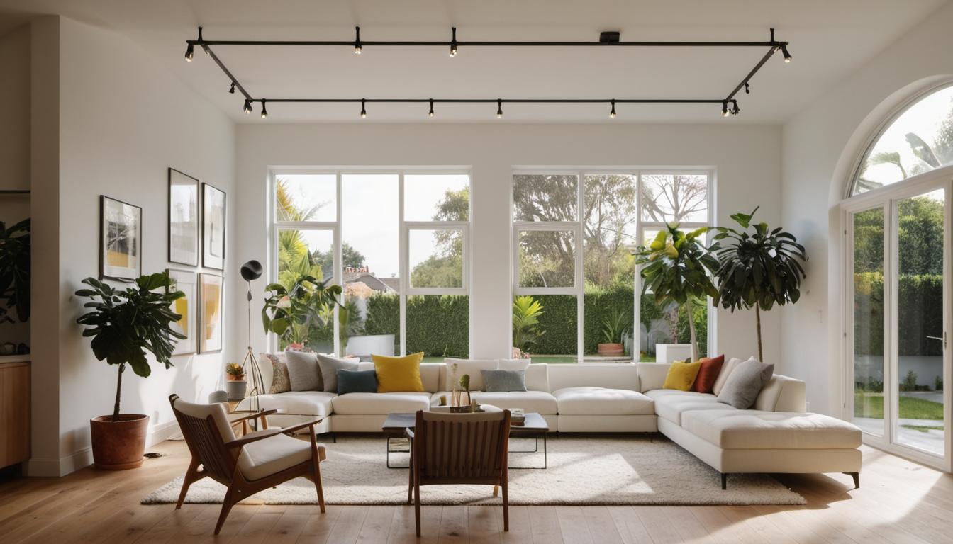
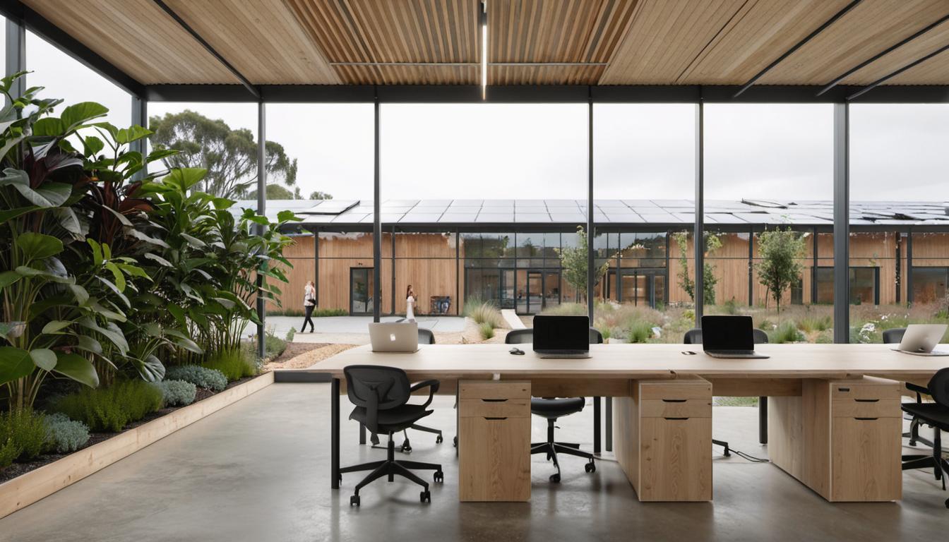
3D architectural aerial rendering facilitates precise visualization of residential and commercial spaces, public and semi-public areas, and broader concepts like urban planning projects. It provides a unique perspective that conventional methods fail to achieve, thereby communicating architectural ideas in an impactful way.
Aerial rendering exhibits potential structures and surrounding neighborhood widely hence, becoming an indispensable tool for architects or real estate developers. Whether it’s a residential complex, commercial space, museum, or park, aerial rendering presents a visual impact of the proposed project in a realistic environment and spatial dimensions. It bolsters understanding of the project’s effect and highlights potential design issues.
Level of realism in imagery can be tailored to match client preferences, using different styling, lighting, and atmospheric effects. Detailed aerial rendering provides an accurate 3D rendering image or video of a design from an aerial perspective, underlining the structure’s unity with existing infrastructure and its effect on the surrounding area.
Working With Drone Images
Leveraging drones for aerial videography in architecture requires some thoughtful planning, a clear understanding of the needed equipment, and knowing how to capture the right images. Essential steps for using ArcGIS Drone2Map to process images into 3D data, details about image overlaps, suitable timing for image capture, and necessary tools, are vital knowledge for an architect or real estate professional.
Familiarizing oneself with suitable equipment is also important. The right drone and the right mapping software will make a massive difference. DJI Mavic-Pro and Pix4D are often recommended for drone and drone mapping needs.
Regulations and Safety Measures
Realizing the architectural applications of drones is not all about technology and techniques – it’s also about knowing the laws. Ensuring you have a drone usage license, understanding UAV regulations, and following safety laws is as important as any technical aspect of drone usage in architectural rendering.

Summarizing
Drone imagery’s role in architectural rendering lies in creating detailed, accurate, and effective 3D architectural aerial rendering. Serving architects and real estate professionals, drone technology presents numerous benefits by providing visualizations for a wide array of spaces. Whether you are developing residential complexes or designing a museum, drones can help you visualize your design and understand potential design issues.
Frequently Asked Questions (FAQs)
How do you convert 2D drone images into 3D data?
The process involves using a ‘Structure from Motion’ technique that uses the partial overlap of drone-captured images to derive 3D data. You start by creating a project in ArcGIS Drone2Map, then add your drone images to a map, which are shown as points connected by lines that represent the drone’s flight path.
What is the difference between nadir and oblique images, and why do they matter in GIS mapping?
Nadir images are taken straight down, and oblique images are taken at an angle. Nadir images are used to create 2D orthoimages for larger orthomosaics, while oblique images are used to create a 3D point cloud, which can be converted into a 3D mesh.
What is the ‘Structure from Motion’ technique, and how is it used in processing drone images?
The ‘Structure from Motion’ technique uses the partial overlap of drone images to derive 3D data, which is integral in transforming 2D images into 3D renderings. It optimizes the process of creating 3D structures from 2D data.
How are drones useful in creating 3D architectural models?
Drones capture high-quality images and videos from unique angles, which can then be processed to create architectural models. Drone imagery enhances 3D modeling efforts, adds value to architectural presentations, and helps identify potential design issues.
What should I consider when using drones for architectural purposes?
You need to consider various legalities associated with drone use, such as obtaining a usage license and understanding UAV regulations. Also, understanding the technical aspects of drone imagery capturing and processing, like the ideal timing for capturing images and how to process them into 3D data, is necessary.